Ruta 40 Section 6
Ruta 40 reaches the Patagonian Lakes and Forests
This section of Ruta 40 leaves the dry steppe behind and enters the Andean forests and the lake district.
Its alignment runs through the small villages of the Comarca Andina del Paralelo 40° (Andean District of the 40th parallel): Epuyén, El Hoyo and El Bolsón, nestled among the forested slopes of the Andes.
The highway leaves the steppe behind and runs along mountain rivers and crystal clear glacial lakes in the Andes.
This is a completely paved segment, and is the access to the Río Manso district and to the Lago Puelo, Nahuel Huapi and Los Alerces National Parks.
A Summary of this Road Section
It covers a distance of 281 km (175 mi.).
Fully paved section.
The highway goes through three distinct ecological regions:
- At first, as it leaves Esquel, and until it reaches the access to Epuyén, it crosses the steppe, running along the eastern foothills of the Esquel and Leleque ranges (you can see scattered trees and the first Andean forests along these ranges) also some forestation with pine trees.
- Then it enters the cypress forests of the "Cordilleran cypress" (Austrocedrus chilensis) well adapted to the dry conditions of the transition zone between the steppe and the Andean Southern Beech forests.
- At Lake Guillelmo, the road enters the Andean Forests proper, which continue all the way to Bariloche
Heights along the road
- 580 m (1,903 ft). At the beginning of the section in Esquel, Chubut.
- 830 m (2,721 ft). At the end of the section in Bariloche, Rio Negro.
Maximum elevation of the section
1.075 m (3,524 ft) at the summit of the Cañadón de la Mosca (km 232). Another high point is at km 205 where it reaches 870 m (2,852 ft) near the village of El Foyel, after climbing out of the low altitude town of El Bolsón (only 316 m - 1,036 ft above sea level).
To bear in mind
The leg from Epuyén to Bariloche is a 2 lane highway, winding mountain road, with some heavy traffic (mostly Chilean Trucks avoiding tedious ferries on the Chilean Hwy. 7). In winter the road can be closed due to heavy snowfall for a couple of days. See the image below, taken in winter (July 2019):
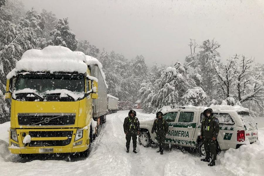
Source
Towns and villages along the route
These are the towns located on ruta 40 from north to south: Bariloche, Río Villegas, El Foyel, El Bolsón, El Hoyo, Epuyén, Esquel. Close to Ruta 40 are Cholila, Villa Lago Rivadavia, El Maitén and Villa Lago Puelo.
Map of this Segment of Route 40
>> Interactive Map of Ruta 40 in Santa Cruz, and Interactive Map of Ruta 40 in Chubut and Río Negro
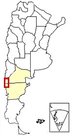
Section 6 is located in Southern Argentina,
see red box at the bottom of this map
See this map of the section.
Other maps of this leg:
Río Negro maps
Chubut, maps
Esquel: starting point
Esquel
Full details on the town of > > Esquel [our Spanish language webpage]
>> Find your hotel in Esquel
We describe this section from South to North, beginning at the city of Esquel and ending at San Carlos de Bariloche [our Spanish language webpage]
Leave Esquel (km 0) taking Ruta Nacional 259 east until it meets Ruta 40 at km 11.
Expreso Patagónico Railroad
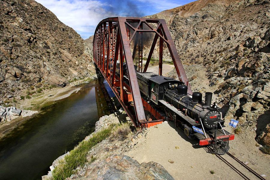
The "Expreso Patagónico" Railroad, (Patagonian Express) is a narrow gauge railway located in Patagonia; it is also a National Historic Monument and you can still ride in its wooden wagons drawn by a steam powered locomotive.
It is known as "La Trochita", a familiar diminutive that refers to its narrow-gauge tracks (In Spanish "Trocha" = gauge and "Trochita" = "tiny gauge").
La Trochita
Full details (in English) on > > La Trochita
Ruta 40 crosses the tracks of the Expreso Patagónico just before the junction of Ruta 40 with Ruta Nacional 59.
At the Ruta 40 Junction turn left to head north. If you continue straight, first east and then south along Ruta 40, you will head along the Section 5, towards the towns of Tecka and Gobernador Costa [our Spanish language webpages]
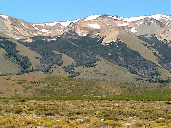
As you head north along Ruta 40 you will notice that it runs along a flat area just east of the foothills of the "Cordon Esquel" mountain range, which lies to your left.
The mountains show some scattered trees high up, close to their summits. These are the easternmost groves of the Andean forest.
At km 19 to your right is the access to the Esquel Airport. At km 24 a road (Ruta Provincial 12, which is the "old" alignment of Ruta 40) forks off towards the right heading to Lepa and Leleque. The "La Trochita" runs 5 km east of Ruta 40.
Along the valley of the Chubut river
Many rivers and streams flow down from the "Cordón Esquel" (Esquel Range) they have a west to east course and Ruta 40 crosses them. They all end up in the Chubut River, from which the province got its name. Their waters eventually flow into the Atlantic Ocean.
At km 62 Arroyo Lepa creek and ahead is the former Lepa station of the "Trochita". To the west now you can see the Leleque mountain range.
Access to Leleque
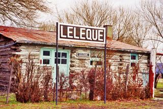
La Trochita railroad station at Leleque. Source
Visit the Museum.
Ruta 40 bridges the Leleque stream and at km 90 junction with Ruta Provincial 15, which to the right heads towards the small hamlet of Leleque (6 km) and to the west, it reaches the small village of Cholila (37 km).
"Old" Ruta 40 to El Maitén
At km 96 fork where the "old" Ruta 40, now renamed Ruta Nacional 1s40) which heads north, straight ahead. It is a gravel surfaced road which reaches the town of El Maitén (32 km away - see map).
El Maitén
Full details on the town of > > El Maitén [our Spanish language webpage]
>> Find your hotel in El Maitén
The "Old" Ruta 40
It is a dirt & gravel surfaced road with a general South-North direction, it is described here: Old Ruta 40 to Pilcaniyeu [our Spanish language webpage]. It crosses the bleak steppe well to the east of the forests.
From Pilcaniyeu the road continued north, crossed the Limay River at Paso Flores (near Alicura dam) and then went along what now are Ruta Nacional 237 and 234 as shown in this map.
Paved Ruta 40 towards the Andes
At the curve stick to the paved road, here it turns westwards towards the Andes. You will have noticed pine trees that have been intentionally planted in an "afforestation" effort. Pine trees are not native to Patagonia (the only conifers native to the region are the monkey puzzle known as Araucaria, the Alerce, Fitzroya cupressoideand, and the Cordilleran cypress).
Native claims and strife
Here is the site of an illegal trespassing and land occupation by a group of "Mapuche" people. They illegally occupied the estancia Benetton, formerly known as "estancia Leleque" of the Argentine Southern Land Company, a vast sheep farm. There has been violent episodes and clashes between the squatters and the authorities in 2017.
This land was historically peopled by Tehuelche natives -a distinct group from the Mapuche, but the latter are imitating their folk in Chile conducting violent land seizures of valuable properties.
Leaving the Old Ruta 40 behind the road runs with a NW course and you can now see the Andes ahead (photo below).
The Ruta 40 crosses the Continental Divide at km 108 west of this point the lakes and rivers flow into the Pacific Ocean
At km 116 junction with the paved Ruta Provincial 71 on the left, it comes from Cholila (and even further south, from the Los Alerces National Park A UNESCO World Heritage Site).
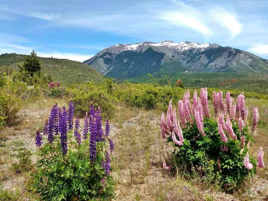
Side Trip along Ruta Prov 71 into the Parque Nacional Los Alerces
Paved Ruta Provincial 71 reaches the town of Cholila (30 km away - see map) and from there, as a Gravel surfaced road runs through the Parque Nacional Los Alerces National Park all the way to Trevelin or Esquel (see map).
It coasts lakes Verde, Rivadavia, Futalaufquen and is the gateway to the Alerce forests by lake Menéndez. It goes by the small village of Villa Lago Rivadavia.
Read all about this Scenic Ruta Provincial 71 to Cholila and Esquel [our Spanish language webpage].
Cholila
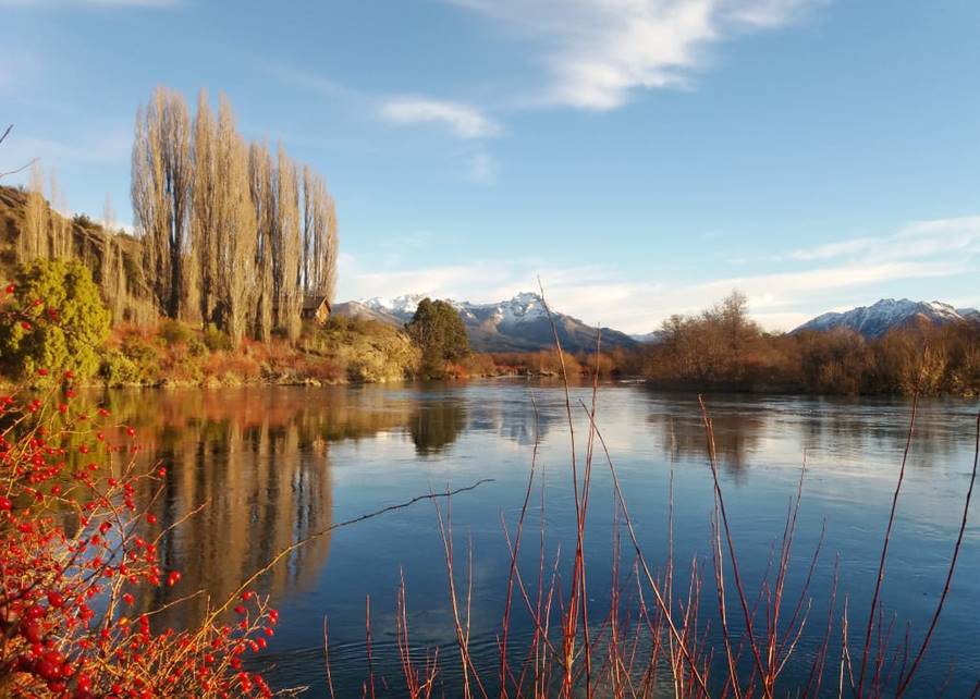
Small town set in a valley where the Andean forests meet the grasslands. It is wetter than the arid steppe further east.
Great place to fish trout, trek, kayak in the local rivers or just relax.
During the early 1900s, it was the home of two American outlaws, the cowboys Butch Cassidy and the Sundance Kid. You can visit their old log cabin here in Cholila.
Cholila
Full details on the town of > > Cholila [our Spanish language webpage]
>> Find your hotel in Cholila
Villa Lago Rivadavia
This is a small hamlet located on Ruta Provincial RP 71, 18 km south of Cholila (Location map):
Villa Lago Rivadavia
Full details on the town of > > Villa Lago Rivadavia [our Spanish language webpage]
>> Find your hotel in Villa Lago Rivadavia
Back to Ruta 40
Ruta 40 in the "Comarca Andina del Paralelo 42° Sur"
The "Comarca Andina" (Andean District) is a district that encompasses several small towns along the Andean Region of Chubut and Rí Negro provinces, they share common interests, cultural ties and heritage.
Towards Epuyén and El Hoyo
From the junction with RP 71 (km 111) Ruta 40 turns sharply north and gradually descends into the valley of Lake Epuyen, it passes by an area razed by a forest fire in the summer of 2019. At km 123 to your left is the entrance into the villages of Epuyén (1,5 km), and Lago Epuyén (9 km). Gas station to your left.
Epuyén
It is located on the upper part of the Southeastern part of the valley of lake Epuyén. The valley was dug by the glaciers during the Ice Ages, the terminal morraines blocked the lake's outflow towards the Atlantic Ocean.
It has stores, lodging, camping area and fuel. It is named after the lake and the river that drains it northwards, from the Mapuche language: "Epu" = "two" and "Ghen" = "to be"; because the lake has two separate sections.
Epuyén
Full details on the town of > > Epuyén [our Spanish language webpage]
>> Find your hotel in Epuyén
At km 126 bridge across the Las Minas River and you finally reach the Andean beech forests. Lowest point of the Valley.
The road climbs out of the valley and at km 128 junction to your right with Ruta Provincial 70, a paved road that goes to El Maitén, 34 km to the east.
Epuyen River
Just ahead, to your left is a scenic outlook at El Balcón del Epuyén with a good view of the valley behind you (km 129).
The road then descends into the Epuyen River valley closed in on both eastern and western sides by high mountains covered with cypress forests. At km 148 you reach the small town of El Hoyo.
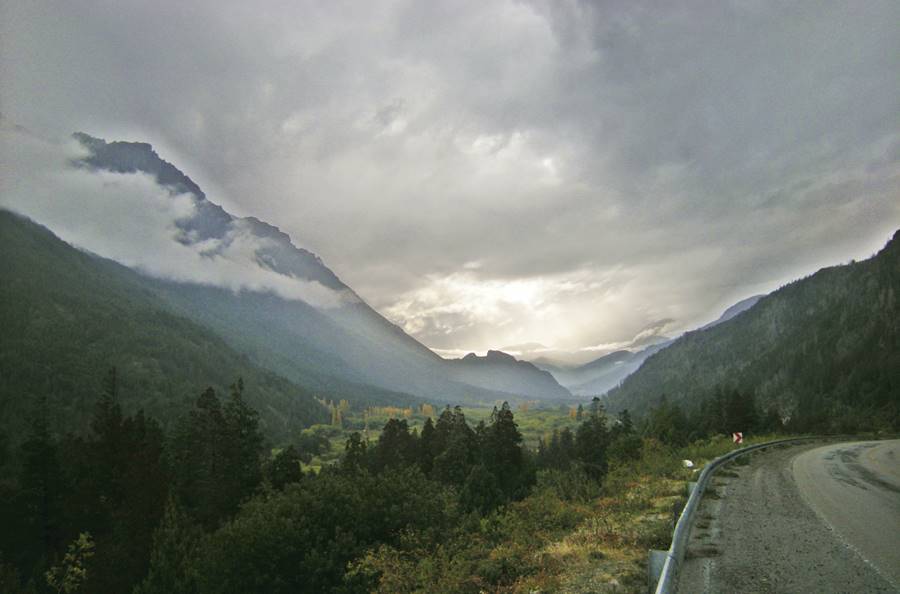
To your left is a bridge across the Epuyén River that heads towards a camping and picnic area called "Puerto Patriada" on the northern coast of lake Epuyen. (see map). There is another road that reaches "El Desemboque" on lake Puelo where you can picnic by the lake: see map.
El Hoyo has a service station, stores, hotels, primary medical care and police station.
El Hoyo
Full details on the town of > > El Hoyo [our Spanish language webpage]
>> Find your hotel in El Hoyo
Lago Puelo and El Bolsón
Ruta 40 continues north (this area was struck by a fire a few years ago). At km 155 to your left is a paved highway that takes you to the village of Lago Puelo (7.8 km away - see map). And to the lake that gives it its name, in the Parque Nacional Lago Puelo National Park [our Spanish language webpage]
Lago Puelo
Full details on the town of > > Lago Puelo [our Spanish language webpage]
>> Find your hotel in Lago Puelo
Golondrinas
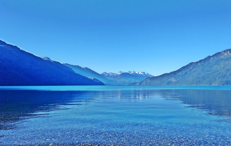
Ruta 40 goes through a rural area known as Golondrinas (after the bird, the swallow) and crosses the border into the province of Río Negro at km 159, reaching the town of El Bolsón.
El Bolsón
Located in a low-level valley, a "hole" (hence its Spanish name) with a temperate climate.
This is the largest city in the region, it has a hospital, shops, stores, supermarkets, hotels, bungalows, campgrounds and several service stations.
There are plenty of things to do and see here, specially trekking the mountain trails in the Andes: visit the "Cajón del Azul" with deep blue water pools on the Azul (blue) river.
Check out our Map of El Bolsón with all the main sights
El Bolsón
Full details on the town of > > El Bolsón [our Spanish language webpage]
>> Find your hotel in El Bolsón
Final leg into Bariloche: more forests and mountains
Ruta 40 goes through the town (Top up your gasoline tank) and heads north.
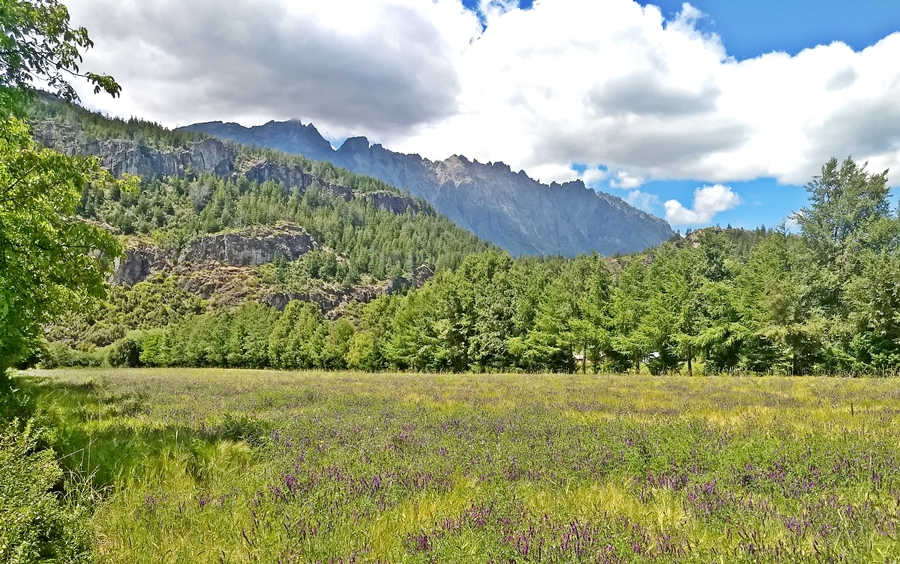
It is a semi-urban zone with small farms and a cypress forest. Roads branch off toards nearby attractions: Nahuel Pan, Azcona, Cabeza de Indio ("Indian Head" rock), Cascada Escondida waterfall and Mallín Ahogado.
Access to El Maitén via Cuesta del Ternero
At km 164 is the old airport to your right, at km 163bridge across the Los Repollos River. At km 177 junction to your right with Ruta Provincial 6 which crosses the Cuesta del Ternero (Calf Slope) and reaches the town of El Maitén (44 km along a gravel road - see map)
The Ruta 40 climbs out of Bolson's valley along the western slopes of the Cordón Serrucho sur range following the los Repollos River Valley, crossing it again at km 188.
Two km. ahead at El Rincón to the left is the road towards Mallín Ahogado (Ruta Provincial 86, gravel surfaced. 11 km).
Ruta 40 keeps on climbing and at km 208 reaches the small hamlet of El Foyel:
El Foyel
Named after a native chief who lived in this area. It has basic services (school, restaurant, tire repair shop) and lodging.
>> Find your hotel in El Foyel
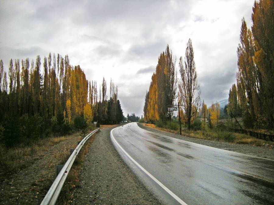
At Km 218 is a check post of "Gendarmería" (Argentina's Border Patrol force) followed by the bridge across the Villegas River, which marks the southern access point into the Parque Nacional Nahuel Huapi National Park [our Spanish language webpage].
Just by Gendarmería, to your left is the Provincial Route 83, and 1 km away is the small village of Rio Villegas with basic services.
Ruta Provincial 83 runs along the left bank of the Villegas and Lower Manso Rivers all the way to the Chilean border running through a district known as Comuna El Manso.
Comuna El Manso
Full details on the town of > > Comuna El Manso [our Spanish language webpage]
>> Find your hotel in Comuna El Manso
Cañadón de la Mosca (Canyon of the Fly)
Ruta 40 climbs up the eastern side of a long and narrow valley in a constant yet gradual climb. As it is shaded by the mountain until midday, driving it during winter mornings can be complicated during winter (ice takes some time to melt).
The original alignment can still be seen winding on the western and sunnier side of the valley. It was a dreadful dusty dirt trail, cliff hanging and winding, and to make matters worse it swarms of horsefiles would pester those driving along it.
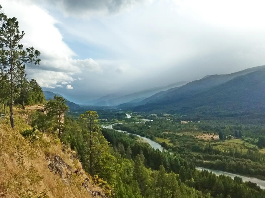
The Cañadón de la Mosca (o de "Las Moscas") is not a Canyon; its slopes are covered with a thick forest. There are good views of the valley below.
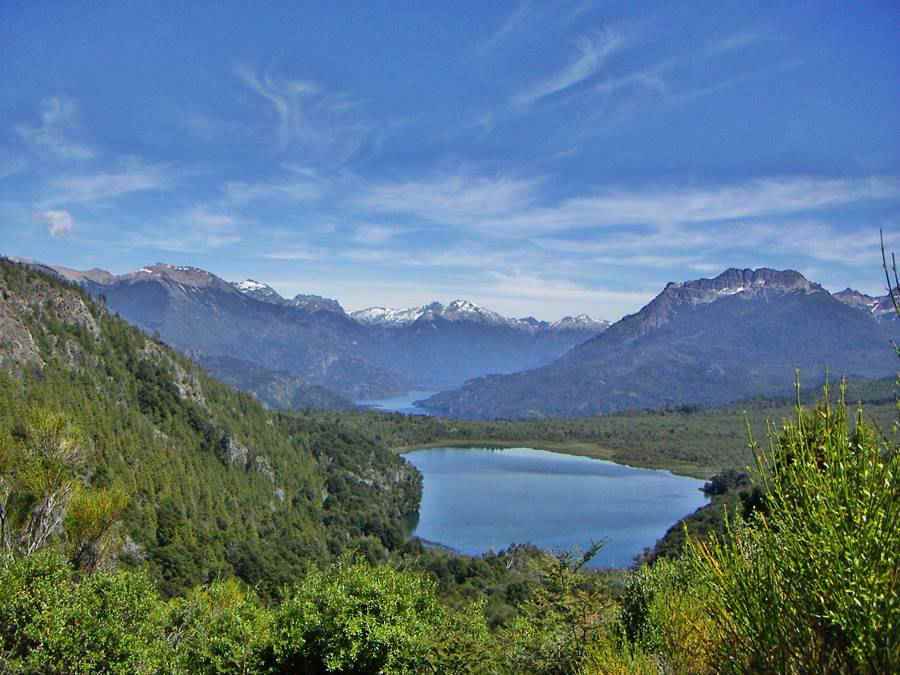
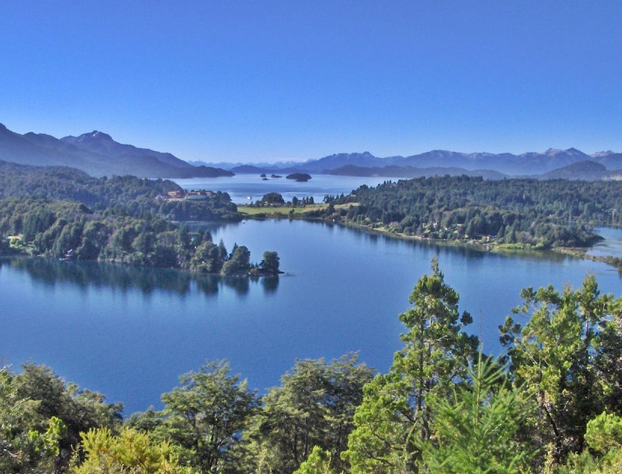
As you reach the summit of the Canyon at km 228, to the left is the access road to lake Steffen with a great overlook -see map- to the valley (see photo at the top of this page) of lakes Steffen and Martín (you can reach them driving a 10 km gravel road and there is a camping area at Bahía Steffen).
From the summit you can see, to the south, in the distance 96 km (60 miles) away, the snow capped granite peaks of the Cerro Tres Picos ("Three Peaks" mountain) 2.492 m - 8,170 ft. high.
At the final part of the "Quebrada de la Mosca" (km 232), is the highest point of this leg: 1.075 meters.
From here the road descends towards the western shores of lake Guillelmo (km 241), you can see it through the trees to your right.
Lakes Mascardi and Guitiérrez
At km 250 is the junction that leads, to your left along a dirt road towards Monte Tronador a glacier capped extinct volcano 3.554 m (11,652 ft) high. This road is narrow and has a time table for traffic to go and come from Mount Tronador.
We describe the Tour to Mount Tronador [our Spanish language webpage]
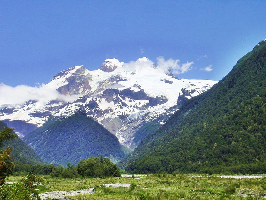
Villa Mascardi
After the junction, crossing the bridge over the Guillelmo River along Ruta 40 at km 254 is the small hamlet of Villa Mascardi on the eastern shores of lake Mascardi.
It has a police station, park ranger, "Gendarmería", a first aid post, post office, store, camping and an A.C.A. service station.
>> Find your hotel in Villa Mascardi
Lake Mascardi
It is named after an Italian jesuit and missionary, Nicolás Mascardi who explored the region in 1670 and established a mission on the northern shore of lake Nahuel Huapi. He was later killed by the natives and the mission after many attempts -and murders of its priests- was abandoned in the early 1700s. Its remains have been found and excavated.
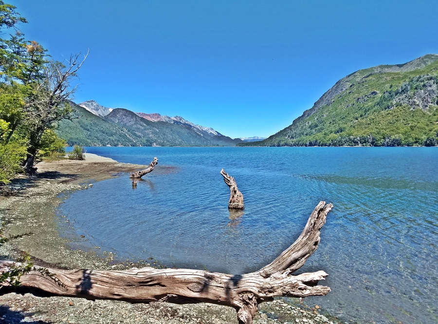
The lake was excavated by the glaciers and is shaped like a horse shoe its western arm receives the snowmelt from Mount Tronadorfundó and the "upper" Manso River. The glacial silt gives the lake a special greenish color.
It empties west along the "lower" Manso River into the Pacific Ocean.
Ruta 40 runs along its eastern arm. At (km 261) is a road leading to the sandy beach and campground located on the lake's northern tip. Just ahead, along Ruta 40 is the
Continental Divide
There is a marshy area between lakes Mascardi and Gutiérrez where the continental divide is located. North of it, the water flows towards lake Gutiérrez, Lake Nahuel Huapi and it reaches the Atlantic Ocean via the Limay and Negro rivers. South of it it reaches the Pacific Ocean along the Manso River.
Ruta 40 will cross the divide once again, further north, close to the town of San Martin de los Andes.
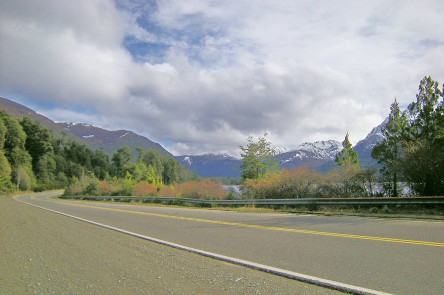
At km 265 southern tip of lake Gutiérrez with a camping area on the beach. Ruta 40 runs along its eastern shores with good views of Cerro Catedral mountain and later of lake Nahuel Huapi on the basaltic slopes of Cerro Ventana:
Rock fall area
Keep your eyes open for rocks on the road, they fall down from the steep rocky slopes of Cerro Ventana mountain. Don't park here.
Ahead the road curves east and at (km 275) there is a paved road to Villa Arelauquen (RP 82), the northern coast of lake Gutiérrez and the shores of Lake Nahuel Huapi, from where you can drive into Bariloche on a nice scenic road (See map), it bypasses the bleak impoverished neighborhoods of southern Bariloche that line Ruta 40 as it enters the city.
See this Map of Bariloche area to get an idea of the city and its surroundings.
Enter town via Ruta 40
If you opt to follow Ruta 40 into Bariloche, keep straight. You will see Cerro Otto (1.406 m - 4,609 ft.) to your right. And at km 278 a roundabout which leads (right) to the beltway that avoids Bariloche altogether and is used by trucks. It meets the Main Ruta 40 on the eastern side of town next to the road that leads to Bariloche's International airport.
Keep on straight, there are traffic lights and several humps to slow down the traffic. The Ruta 40 crosses a flat area known as "Pampa de Huenuleo" crossing different neighborhoods in the outskirts of Bariloche (El Frutillar, El Pilar y Nahuel Hue) there are several roads leading left into the town.
You will reach San Carlos de Bariloche at km 280. Enter it by taking the exit at the Pasaje Gutiérrez roundabout at km 281 or along Elordi street (km 282) to Moreno stret which (left) takes you to the downtown area of Bariloche and its "Centro Cívico" (Civic Center).
End of this segment
Bariloche
Full details on the town of > > Bariloche [our Spanish language webpage]
>> Find your hotel in Bariloche
Next Segments
See From Bariloche to Zapala, which includes a "Top Ten Attraction of Ruta 40", the Ruta de los Siete Lagos.
Tips for this road section
1. The Weather
The weather is cool with an average summer temperature of 15°C (59°F) and highs of up to 35°C (95°C) and the steppe is dry and arid. The Andean mountain area is wet and rainy all year. Summers are temperate, cold at night. But daytime temperatures in the sun are quite hot.
Winter average temperature is 1,5°C (35°F) but can drop to a freezing -10°C (14°F) in the steppe. The "Comarca Andina" district has mild climate due to its lower altitude.
2. When to visit and drive this section
This segment can be driven the whole year, but it is much more enjoyable during the mild weather of spring, summer and autumn (Nov to May). The high season is Dec. through Feb. and the July Winter Holidays. Book your hotels in advance during the high season.
3. Safety tips
Very Important: towns are far apart, and gas stations scarce. Side winds from the west are constant and gusts can be a problem, pay attention.
Expect snow and ice on the road in winter.
Secondary highways and shoulders have gravel surface.
Top up your gas tank whenever you get the chance to.
Road Conditions
Check the Ruta 40 Road conditions on our website
Take with you...
- Food, water, a paper map.
- Warm clothes, a blanket even in summer. Patagonian weather is unpredictable and the wind factor drops the temperature considerably.
Avoid forest fires
Don't light any fires. If you must, do so in an area where fires are permitted. Never Leave a Fire Unattended, sparks can be very dangerous. Have a fire extinguishing solution and attend the fire until it is fully out. Be a responsible smoker: ashes and butts can start fires. Extinguish your butt completely and take it with you.
You can fill your car's tank in Esquel, Epuyén, El Hoyo, El Bolsón, Villa Mascardi and Bariloche.
›› Location of Ruta 40 Service Stations
Accommodation in Santa Cruz
Find your hotel along Ruta 40 in the province. Cities listed from north to south:
>> Lodging in Bariloche
Hotels on Ruta 40 in Río Negro
South, in Chubut
>> Find your room in Río Negro Province

