Ruta 40 Section
Ruta 40 an incredible Road Trip
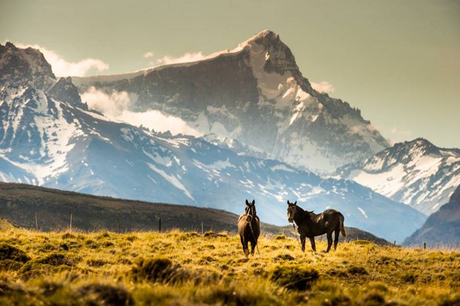
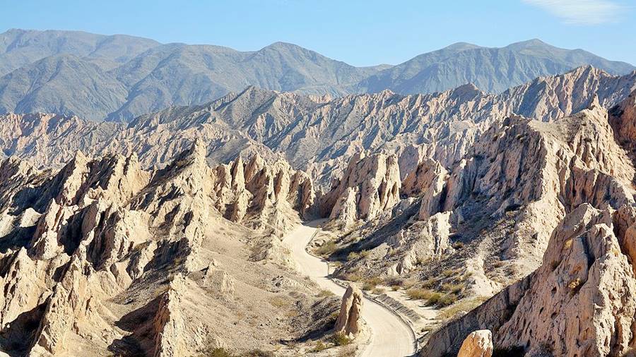
Ruta 40 is one of the Best Ten Road Trips in the World. Its magnificent sceneries, its length, the height it reaches (16,050 feet - 4.895 meters- above sea level) and the variety of regions that it crosses make it a destination in itself.
Here we explain what makes it so singular.
Route 40
Argentina's emblematic highway
Ruta 40 is a very long highway: 3,228 miles (5.194 km) long
The longest highway in Argentina is also one of the longest highways in the whole World.
The World's longest highways
Several highways vie for the title of "The World's Longest Highway" such as:
- In our opinion, it is Australia who has the longest highway in the world: its Highway 1 is an incredible 12,427 miles long (19.995 km), circling the continent along its coastline.
- The longest "National" highway is often said to be the Trans-Canada Highway with a length of 4,861 mi. (7.821 km); it crosses Canada from Terranova on the Atlantic to Victoria, British Columbia on the Pacific.
However it does not have its own number because Canada does not have a Federal highway system: road alignment and building is under provincial jurisdiction.
This means that some provincial highways were linked together to create the Trans-Canada Highway.
- Another very long highway is the Trans-Siberian Highway that links Vladivostok on the Pacific with Saint Petersburg next to the Baltic sea. It spans some 6,840 miles (11.000 km).
Like the Canadian highway it too is a successionof highways (M10, M5, M55, etc.), meaning that there is no formal highway with a unique number assigned to it. - China has a vast expressway network and the longest of them is their Number 010, which crosses the country from north to south, from Tongjiang in Heilongjiang to Sanya in the Island of Hainan. Its length is 3,543 mi. (5.700 km).
- U.S. has the famous Route 66 which however isn't its longest highway. That honor goes to US Highway 20 with 3,365 mi. (5.415 km).
Distance comparisons with Ruta 40
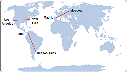
To grasp the meaning of Ruta 40's length, we compare its 3,228 miles (5,194 km) with the distance between some well known cities:
Cities
Distance (mi) - (km)
Ruta 40
3,228 mi - 5,194 km
Madrid - Moscow
2,123 mi - 3,417 km
London - Cairo
2,193 mi - 3,529 km
Honolulu - Los Angeles
2,555 mi - 4,112 km
New - Los Angeles
2,572 mi - 4,139 km
Buenos Aires - Bogotá
2,889 mi - 4,649 km
Let's put some of those distances on a map to get a real idea of the length of Ruta 40, it is longer than any of them:
The History of Ruta Nacional 40
The creation of Ruta 40 dates back to Argentina's Federal Law 11.658 enacted on . This act of Congress set down the National Higways Network System and created the National Roads Direction (DNV is its Spanish acronym). The DNV would build the highways and maintain them with funds that would be provided by a fuel tax.
Why was it numbered 40?
Four years after its creation, in 1936, thd DNV defined a Numbering System for National Highways with clear rules to assign the number to a highway.
Number 40 was assigned to this highway based on this rule: Numbbers 1 to 50 were assigned to highways that linked provincial capitals or formed part of the "great itineraries". Among the latter those numbered from 32 to 30 would correspond to highways with a north to south alignment. The westernmost highway, running along the Andean foothills was given the number 40.
The DNV linked up a series of provincial highways along the Andes and created Ruta 40 under federal jurisdiction.
But its alignment would change over the years, as we will see below.
Magic and Mythical Ruta 40
What makes Ruta 40 so Special?
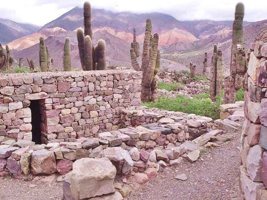
- Its Ancient Roots. Ruta Nacional 40's alignment follows in many places the course of the ancestral Inca Trail, built by the Inca Empire to link their vast territories with their capital city of Cusco, in Peru.
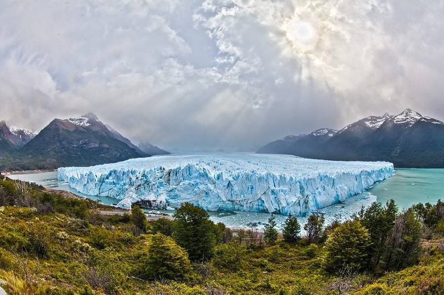
In Patagonia it follows the alignment of the ancient rastrilladas of the Tehuelche natives, trails worn by the pedestrian natives over thousands of years. - Its Natural Setting. It links the Atlantic Ocean on the Strait of Magellan with the Puna highlands, it runs close to glaciers, lofty peaks, through volcanic lava fields, forests, salt flats, along the foothills of the Andes and the shores of crystal clear lakes, thorugh national parks, vineyards, multicolored rock formations and groves of cactus... Some of the best natural sights of Argentina.
- Its Enormity. Not only is it the longest highway in Argentina, it also has the highest pass in the world on a national highway, and the highest pass outside of Asia, the famous Abra del Acay Pass, nearly 16,400 feet (5.000 m) high.
- Its Cultural Heritage. It links many cities and villages with landmarks designated as National Historic Monuments, UNESCO Wold Heritage Sites, Ruins of ancient Native settlements, sites of battles, the trails of pioneers and explorers, of Spanish conquistadors and native warriors. Driving Ruta 40 is a ride into Argentina's history.
The Alignment of Ruta 40
Its Extreme Points
Southernmost Point
Ruta Nacional 40 has its "zero" kilometer post near the southernmost tip of Argentina's continental territory, at the cape of Cabo Vírgenes [Our Spanish language webpage].
The cape is roughly 5 miles (9 km) north of Point Dungeness, which marks the southern tip of the American Continent on the Atlantic Ocean and the mouth of the Strait of Magellan. To the south lies the island of Tierra del Fuego.
Cabo Vírgenes is located in the Patagonian province of Santa Cruz, in the Güer Aike Department, 52°20’S and 68°21’W (Map showing its position).
Learn how to get there: Ruta 40 from Río Gallegos to Cabo Vírgenes.
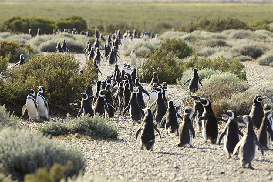
Kilometer Zero of Ruta 40: Cabo Vírgenes
Until 2004, the Ruta 40 had two sections, and both started in the city of Mendoza. One headed north and the other south, the latter ended near Cabo Virgenes, at Punta Loyola Point, on the mouth of the Río Gallegos estuary.
But on November 24 2004, both alignments of Ruta 40 were unified and the zero milepost was moved 124 km (77 mi.) further south to its current location.
So the Ruta Nacional 40's Kilometer Zero (Km. 0,00) is located in Cabo Vírgenes, Patagonia.
Westernmost Point
Ruta 40 reaches its most western point very close to the town of Río Turbio [Our Spanish language webpage], in Santa Cruz.
These are its coordinates: 51°31'28.2"S & 72°15'57.8"W, and this is its Map
Point closest to the Pacific Ocean
Very close to its westernmost point, just south of the town of 28 de Noviembre, is the point where Ruta 40 is closest to the Pacific Ocean.
It is only 13.5 miles (21,7 km) from the Pacific. No other highway in Argentina appoaches it so close. See map.
Northernmost Point of Ruta 40
We describe it here: Northernmost Point, in the last leg of Ruta 40, close to the town of Santa Catalina in Jujuy province, very near the border with Bolivia. This point is located in the barren Puna highlands.
Its altitude is 12,675 ft. (3.866 m) and its coordinates are: 22°05'13.0"S & 66° 04'55.7"W (map).
Easternmost Point
The easternmost point of Ruta 40 is also its end point. At the city of La Quiaca [Our Spanish language webpage].
At its junction with Ruta Nacional 9. Map showing its position.
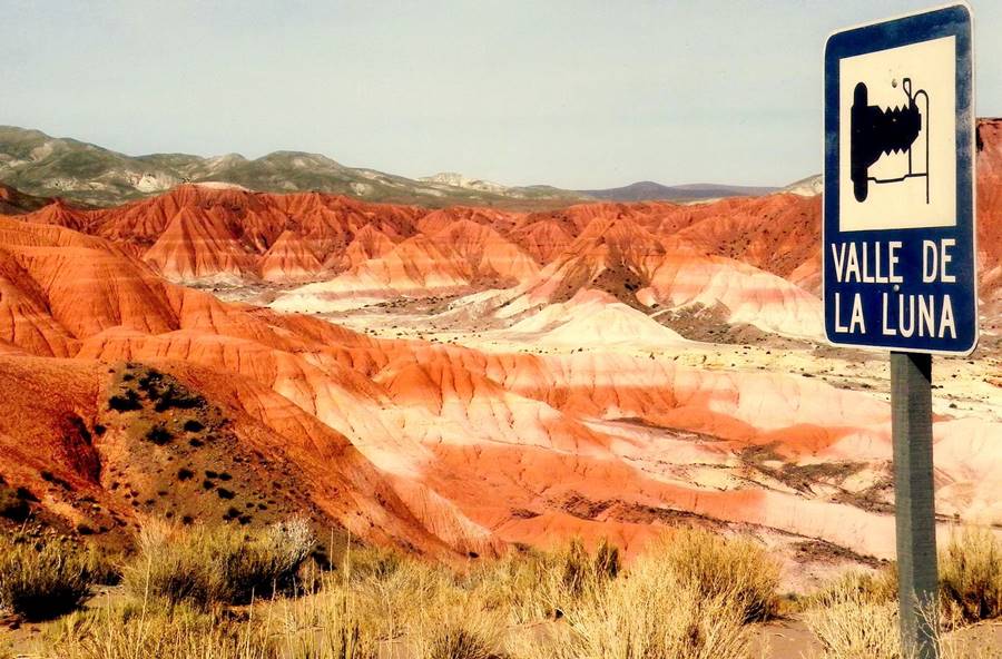
Remarkable Sights Along Ruta 40
Below is a detail of some of the natural and cultural landmarks, tourist attractions and sights along Ruta 40's alignment:
Patagonia
Santa Cruz Province
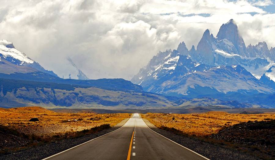
The "Los Glaciares" National Park, a UNESCO World Heritage Site protects the vast glaciers of the Southern Patagonian Ice Field, including the famous Perito Moreno Glacier and the Granite peak of Mount Fitz Roy, pictured below, at Chalten [Our Spanish language webpage].
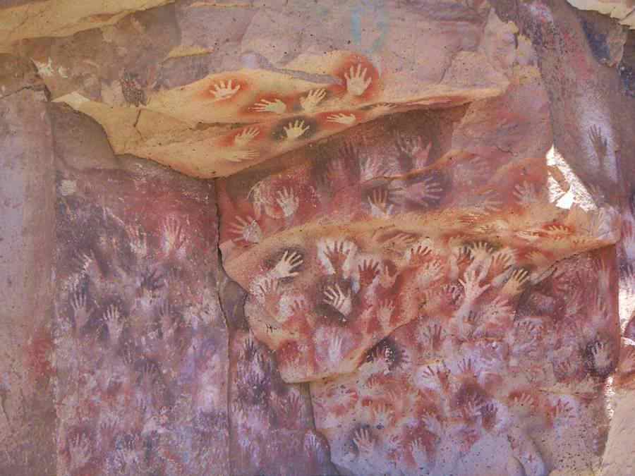
In Central Western Santa Cruz is the solitary Perito Moreno National Park, accessible from Ruta 40, with Mount San Lorenzo nearby and the UNESCO World Heritage Site of the Cueva de Las Manos, rock art painted by paleoindians, some of the painted hands are 9,300 years old
Chubut
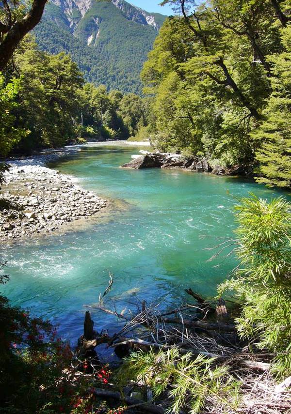
This province in Patagonia is the site of the UNESCO World Heritage site of the Los Alerces National Park, and here, Ruta 40 enters the Andean Patagonian Lake District and forests.
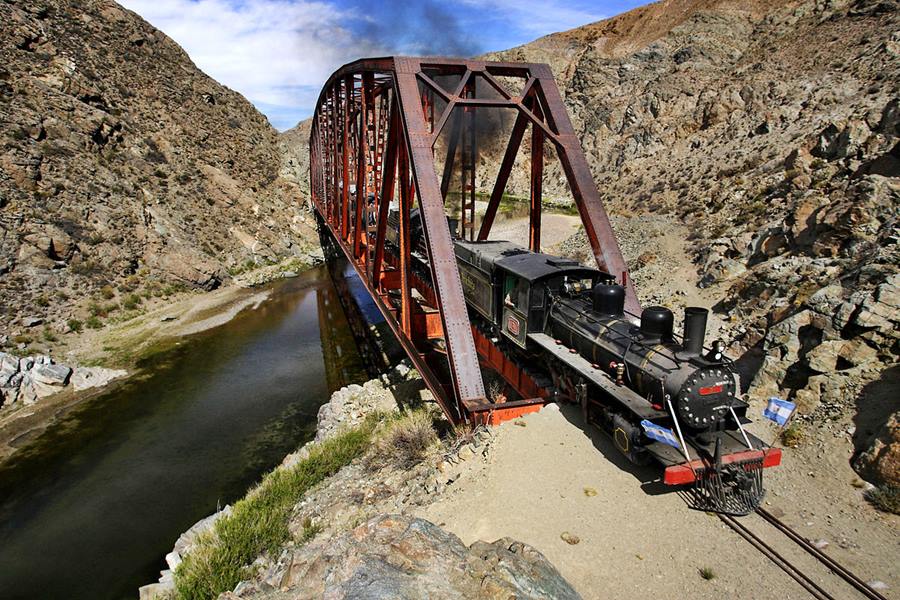
Next to Ruta 40 is the old steam engine drawn train known as the Viejo Expreso Patagónico ("Old Patagonian Express") or La Trochita [Our Spanish language webpage], which means "the Narrow Gauge".
Río Negro
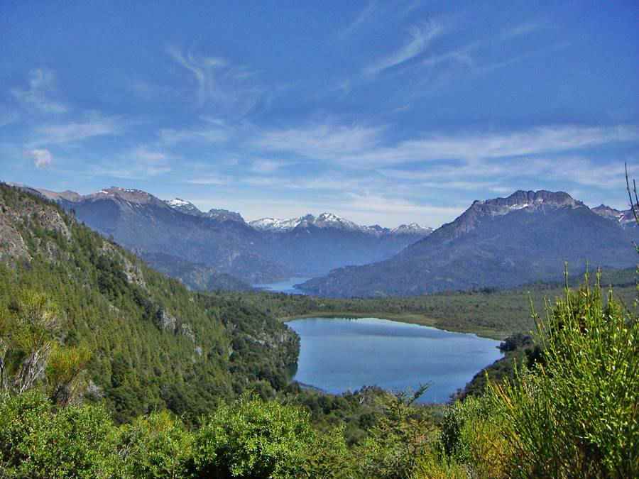
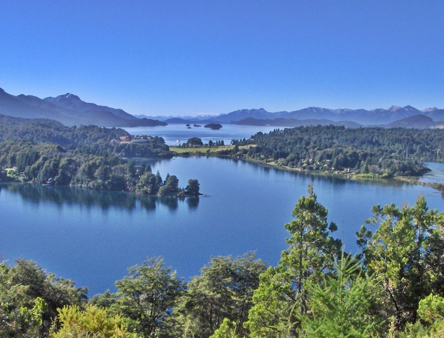
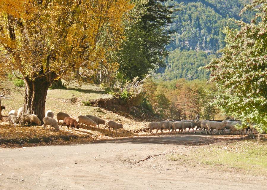
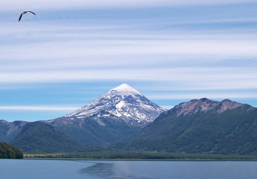
The Nahuel Huapi National Park with the glaciers of Mount Tronador, the Valdivian Jungle at Puerto Blest and the begining of the Ruta de los Siete Lagos (Seven Lakes Road), with the city of San Carlos de Bariloche [Our Spanish language webpage].
Neuquén
The Ruta de los Siete Lagos continues in Neuquén province, and then the Ruta 40 heads into the rugged steppe and arid Andean foothills heading towards the volcanic area in the north.
Cuyo Region
Mendoza
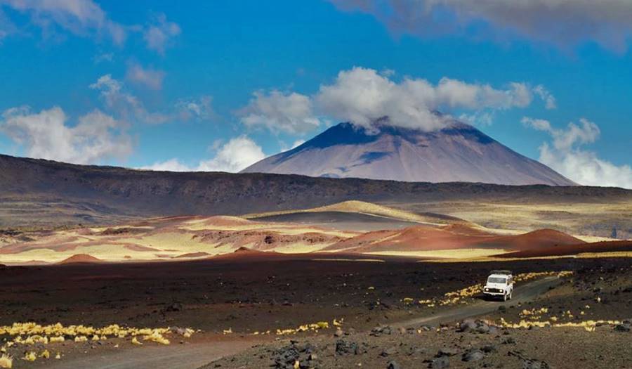
The Ruta 40 leaves the Patagonia Region and enters Cuyo Region. Here is the El Payén - La Payunia, a vast volcanic field, which with Kamchakta Peninsula in Russia has the greatest concentration of volcanoes in the world.
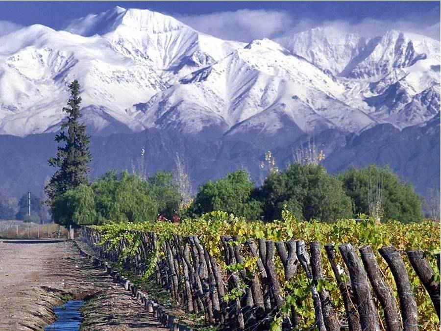
This is the land of the high Andes peaks, with Mount Aconcagua (6,961 m or 22,837 ft), the highest mountain in both the Southern and Western Hemispheres.
It is also the land of great wines; in the "Valle de Uco", Tunuyán, Tupungato, Luján de Cuyo, Maipú you will find terroirs where the great Mendoza wine estates are located. This is the home of the Argentine Malbec. And Route 40 links them all.
Learn more at our English language webpage on Mendoza Wines
San Juan
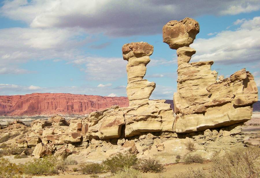
Has the UNESCO World Heritage Site of Ischigualasto, a natural reserve with amazing rocks and landforms:
La Rioja
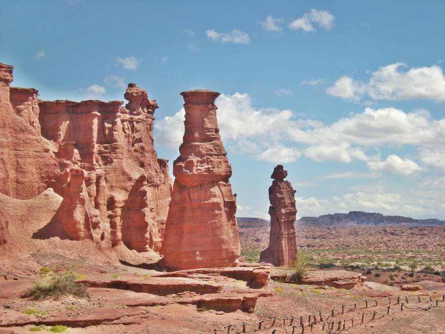
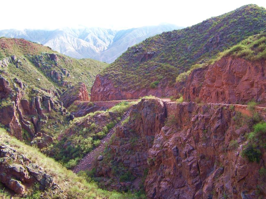
The northern province of Cuyo Region, with Cuesta de Miranda slope on Ruta 40 and Talampaya National Park.
The Northern Region
Catamarca
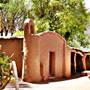
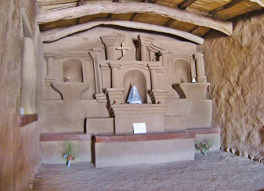
In catamarca you can drive along the Adobe Route, a circuit that takes you by colonial churches and buildings built with adobe and Inca ruins...
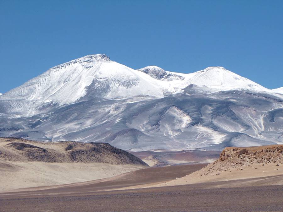
The road lets you access the amazing Ruta de los Seismiles [Our Spanish language webpage], or "Route of the Six-thousands", which gets its name because it crosses the Andes running next to the highest volcanoes on Earth, many of which are over 6.000 m 19,672 feet high:
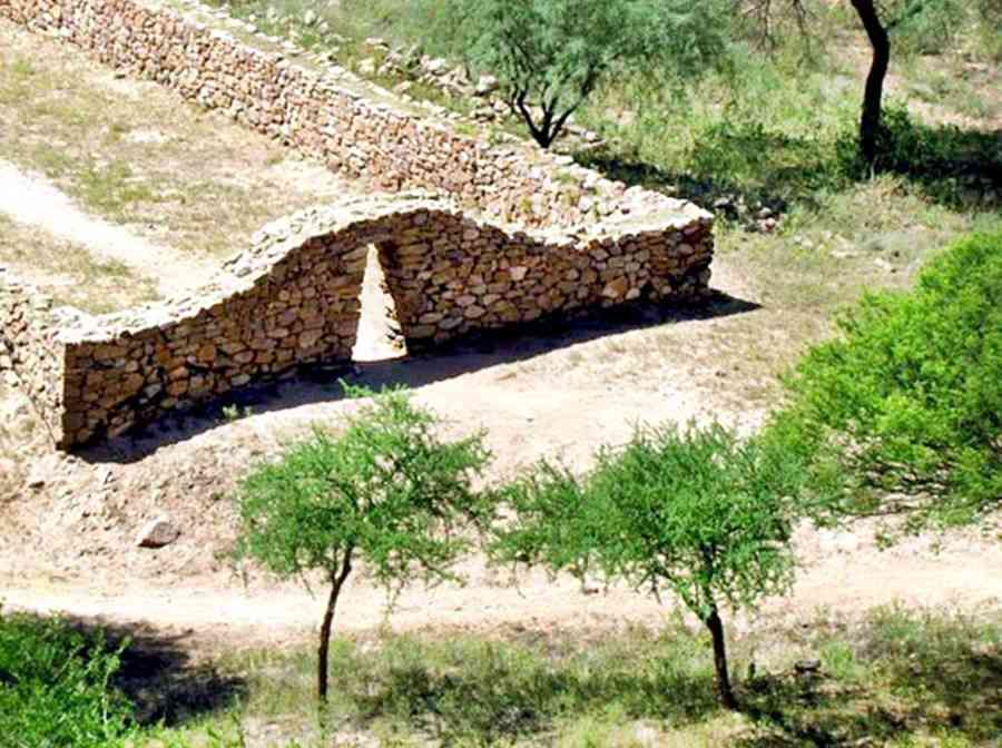
On Ruta 40 are the ruins of an Inca City, the capital of one of their southern provinces, the Shinkal Ruins.
Tucuman
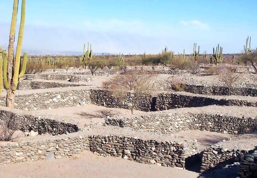
With the shortest segment of Ruta 40, is the home of the Quilmes Ruins [Our Spanish language webpage], a native village and citadel, destroyed by the Spanish during the Calchaqui Wars in the 1600s. Their inhabitants were uprooted and deported to Buenos Aires, where the city of Quilmes now stands, home town and site of the first brewery of the famous Argentine brand of beer, "Quilmes".
Salta
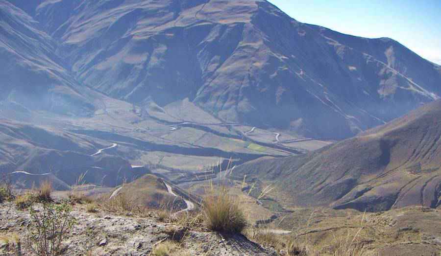
The world's highest vineyards are located close to Ruta 40, in Colome. The heighest point of Ruta 40, Abra del Acay Pass is in Salta, and also the Quebrada de las Flechas canyon.
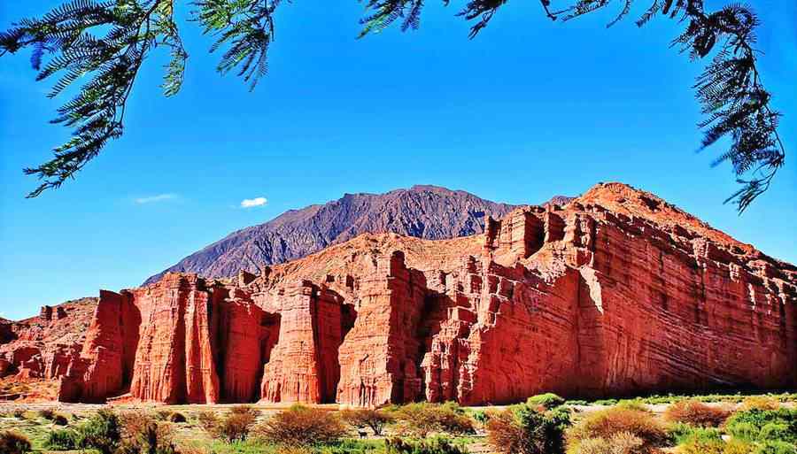
The town of Cafayate [Our Spanish language webpage], is well known for the red rocks of the Quebrada de las Conchas and the Garganta del Diablo:
Jujuy
This is the highest part of Ruta 40, in the Puna highlands, above 4.000 meters (13,100 feet) on average.
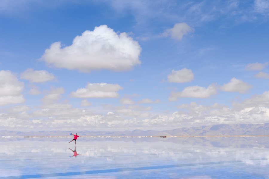
The highway takes you through the red, ochre and white canyons of Cusi Cusi Valley of Mars and the white Salinas Grandes Salt flats.
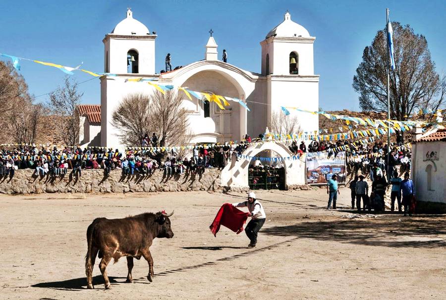
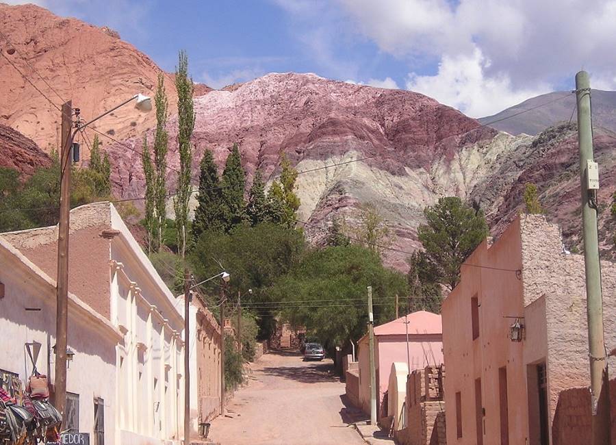
Jujuy has plenty to offer, from native customs (like the harmless Bullfighting in Casabindo [Our Spanish language webpage]) pictured below, to the "Seven Colors hill" of Purmamarca [Our Spanish language webpage].
Ruta 40 Trivia
Some Fun Facts and odd information on Ruta 40:
- The leg within the province of Río Negro was designated with the official name of
Juan Marcos Herman
, a student who was kidnapped and disappeared during the military dictatorship (1976-1983). - Its lowest point is barely 128 feet (39 m) above sea level at the light house in Cabo Vírgenes, Santa Cruz.
- It goes through three provincial capitals}: Mendoza, San Juan and Río Gallegos). Originally it also went through the city of Salta.
- It links two of Argentina's best known highways, the "Panamerican" La Ruta Nacional 9 in La Quiaca with Ruta Nacional 3 in Güer Aike (Santa Cruz).
- The Argentine band La Renga wrote a song for it, aptly titled "Ruta 40" (See video).
- It spans almost 30 degrees of latitude, from 22° 45'S to the parallel of 52°Sur: from the Tropics to the cold Patagonian glaciers.
- It crosses 236 bridges.
- The town of Mina Pirquitas in Jujuy, located at an altitude of 14,012 feet or 4.271 meters above sea level, it is the highest village in Argentina.
- It crosses eleven provinces.
Accommodation on Route 40
Find your room in each province along the highway
Find Lodging
>> Hotels in City of Salta
Hotels in each province along Ruta 40
Must-See stops near Ruta 40
>> Find your room in Salta Province

