Legs of Ruta 40
Choose the Section and learn all about it
Below are the sections into which we have divided the Ruta 40's alignment, spanning the whole of its course across Argentina.
Each leg or segment of Argentina's legendary highway contains full information on landmarks, historic sites and the partial mileage along the section.
Gravel or Paved? What is the road like?
Full details on which parts of Ruta 40 are not paved > >
Paved and Unpaved Sections of Ruta 40
Road Sections in each Region and Province
From South to North, starting in Patagonia
Patagonia
Santa Cruz
- Section # 1. Cabo Vírgenes to Río Gallegos (See the Google Map of this leg)
- Section # 2. Río Gallegos to Río Turbio (See the Google Map of this leg)
- Section # 3. Río Turbio to Tres Lagos (See the Google Map of this leg)
- Section # 4. Tres Lagos to Perito Moreno (See the Google Map of this leg)
- Section # 5. Perito Moreno to Esquel [in Santa Cruz] (See the Google Map of this leg)
Chubut
- Section # 5. Perito Moreno to Esquel [in Chubut] (See the Google Map of this leg)
- Section # 6. Esquel to Bariloche [in Chubut] (See the Google Map of this leg)
Río Negro
- Section # 6. Esquel to Bariloche [in Rio Negro] (See the Google Map of this leg)
- Section # 7. Bariloche to Zapala [in Rio Negro] (See the Google Map of this leg)
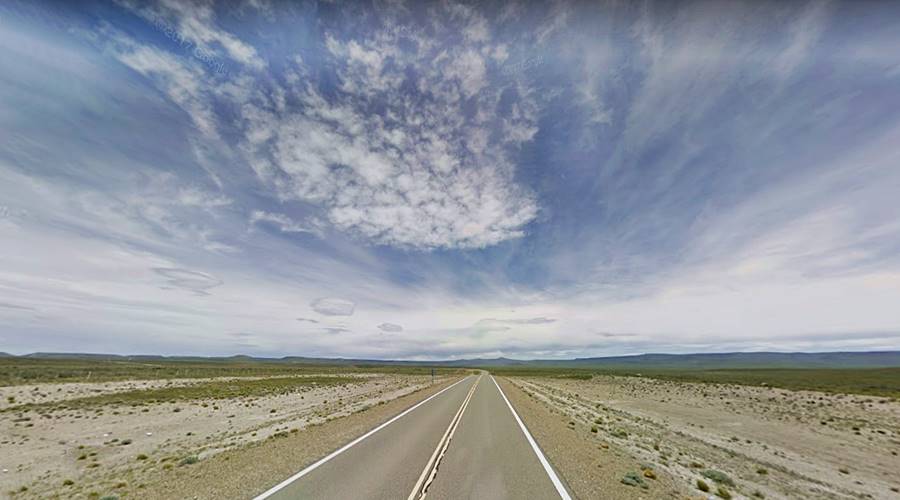
Neuquén
- Section # 7. Bariloche to Zapala [in Neuquen] (See the Google Map of this leg)
- Ruta de los Siete Lagos (Seven Lakes Road) (See the Google Map of this leg)
- Section # 8. Zapala to Barrancas (See the Google Map of this leg)
Barrancas is a small village on the Colorado River which marks the northern border of Patagonia, across the river, is Mendoza province which is part of the region known as Cuyo.
Cuyo Region
Mendoza
- Section # 9. Barrancas to Pareditas (See the Google Map of this leg)
- Section # 10 Pareditas to Mendoza (See the Google Map of this leg)
- Section # 11. Mendoza to Guandacol [in Mendoza] (See the Google Map of this leg)
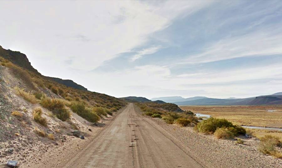
San Juan
- Section # 11. Mendoza to Guandacol [in San Juan] (See the Google Map of this leg)
La Rioja
- Section # 11. Mendoza to Guandacol [in La Rioja]. (See the Google Map of this leg)
- Section # 12. Guandacol to Alpasinche. (See the Google Map of this leg)
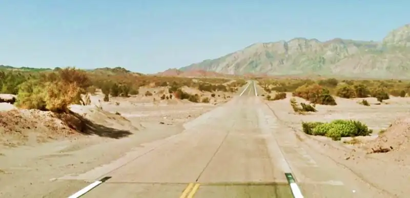
- Section # 13. Alpasinche to Santa María [in La Rioja] (See the Google Map of this leg)
Fords
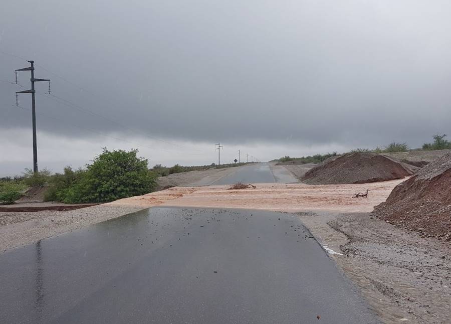
Fords are known as "Badenes" and are quite common in the northern part of Cuyo and the Northern Region.
There are many dry river beds that run across the highway's alignment, draining the Andean foothills that lie to the west. They only carry water during the summer rainy season, and building bridges to cross them would be an expense. Furthermore, the summer flash floods wash mud, branches and rocks down from the mountains which would quickly clog the area beneath the bridges, damming the rivers.
After a downpour, the road is quickly cleared with road grader that moves the mud ⁄ rock slides and opens the highway to traffic.
Don't attempt to drive across a flooded ford, wait for the water level to drop.
Northern Region
Catamarca
- Section # 13. Alpasinche to Santa María [in Catamarca] (See the Google Map of this leg)
- Section # 14. Santa María to Cachi [in Catamarca] (See the Google Map of this leg)
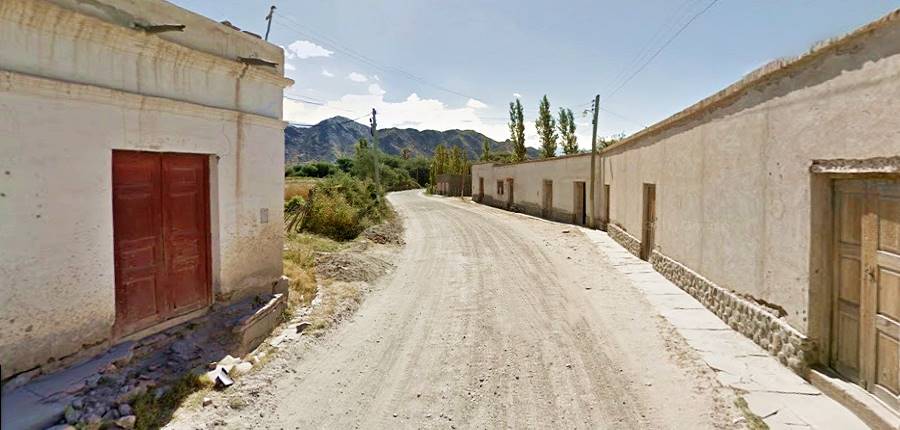
Tucumán
The shortest segment in any province along Ruta 40.
- Section # 14. Santa María to Cachi [in Tucuman] (See the Google Map of this leg)
Salta
Here the Ruta 40 climbs up into the Puna crossing Abra del Acay Pass at 4,895 m (16,050 feet) above sea level.
- Section # 14. Santa María to Cachi [in Salta] (See the Google Map of this leg)
- Section # 15. Cachi to San Antonio de los Cobres (See the Google Map of this leg)
- Section # 16. San Antonio de los Cobres to La Quiaca [in Salta] (See the Google Map of this leg)
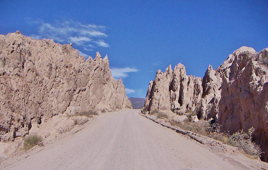
North of San Carlos, Salta the road surface is gravel, rocks and sand most of the way to its terminus in La Quiaca.
Jujuy
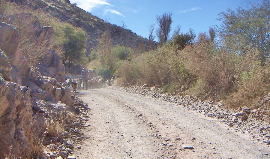
Northernmost segment, in the Puna (altitude above 3.000 m - 9,800ft) all the way to La Quiaca.
- Section # 16. San Antonio de los Cobres to La Quiaca [in Jujuy] (See the Google Map of this leg)
More useful Ruta 40 information
Useful Links:
Location of the Service Stations along the highway.
Hotels & Accommodation along Ruta 40
Find your room in each province along the highway
Find Lodging
>> Hotels in City of Salta
Hotels in each province along Ruta 40
Must-See stops near Ruta 40
>> Find your room in Salta Province

